























The Strait of Hormuz has once again shown that modern war is not fought only with missiles, drones and warships. At times, the decisive instrument is a changed line in a vessel’s digital profile, a rerouted signal on a tracking screen or the sudden disappearance of a tanker from the global monitoring system.
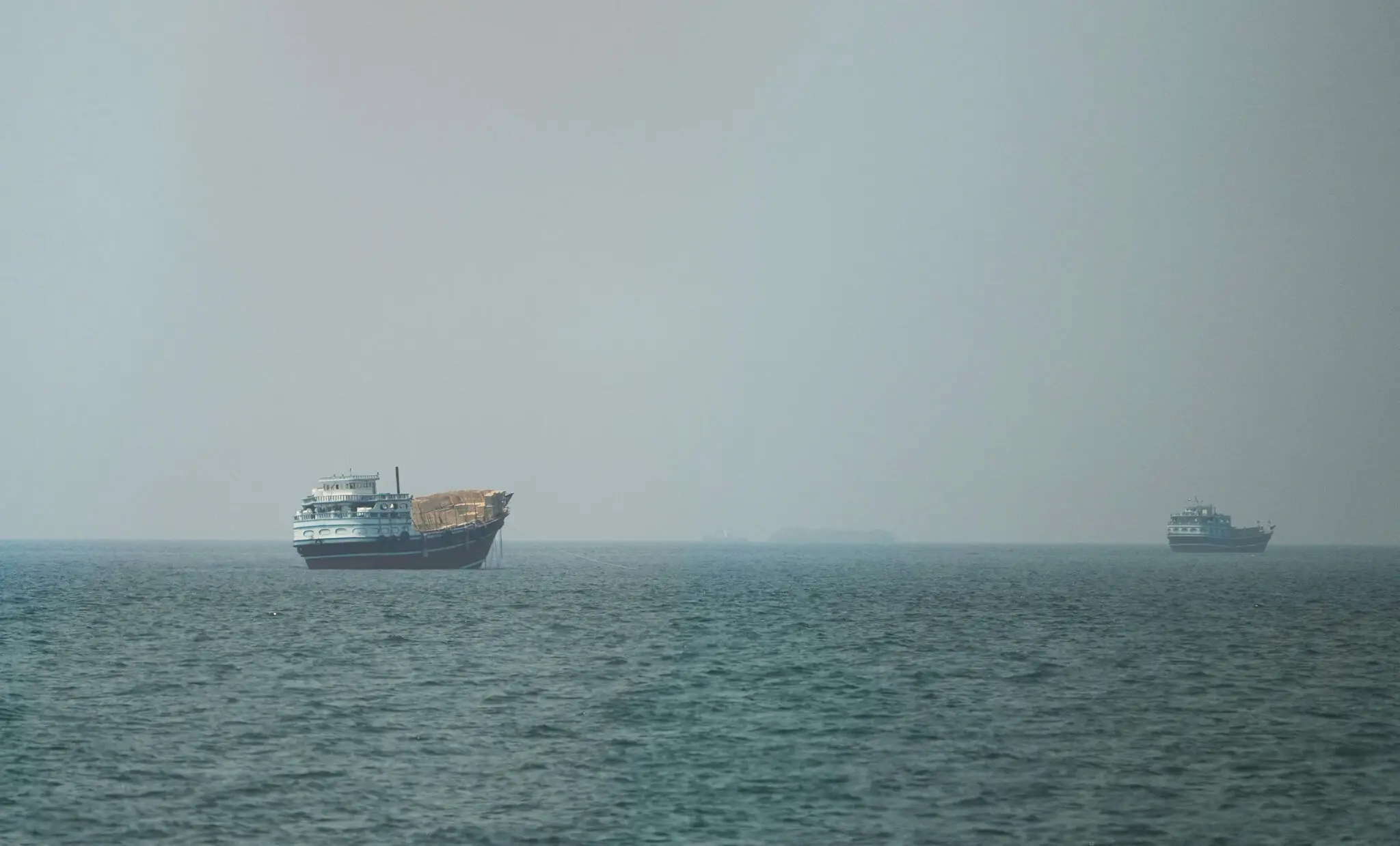
Since the United States imposed a naval blockade on ships entering or leaving Iranian ports, maritime observers have begun to register a sharper wave of shadow activity in and around Hormuz. Vessels are switching off transponders, altering digital identifiers, inserting false destinations and trying to dissolve into informational noise.
This is no longer a technical trick or the niche behavior of a few operators. It is an attempt to turn one of the world’s most important maritime arteries into a space where physical reality increasingly diverges from what monitors, insurers, ports, navies and energy traders are able to see.
According to Daycom’s earlier analysis, that is where the conflict is now opening a new front. Until recently, the central question was whether the U.S. Navy could physically choke off Iranian oil exports. Now an equally important question has emerged: whether Washington can reliably distinguish a real vessel from the digital mask under which it moves.
For years, the global system of maritime visibility seemed almost routine. Large commercial ships transmitted their position, course, name, flag, technical details and identifying number through onboard transponders. That signal was meant to serve as a stable digital fingerprint inside the international shipping system. War, however, has taught a harder lesson: fingerprints can be forged.
That is the essence of spoofing. A vessel may assign itself a false route, claim a misleading origin, impersonate another ship or vanish from the map altogether, only to reappear elsewhere with altered data. In extreme cases, a near-ghost fleet emerges: ships are plainly there, yet establishing who controls them, where they are headed and what cargo they carry becomes far more difficult.
There is nothing improvised about this method. It has already been refined elsewhere. After sanctions pressure intensified following Russia’s full-scale war against Ukraine, shadow vessels learned to operate between jurisdictions, under false or convenient flags, with manipulated digital trails and ownership chains so layered that tracing a single voyage became an exercise in forensic intelligence.
A similar logic now appears to be spreading more actively into the Iranian maritime sphere. That marks an important shift. In the early weeks of the war, exports from Iran continued with relatively little need for ships to go dark. The blockade has changed operator behavior. They are no longer merely testing sanctions loopholes. They are probing the practical limits of American enforcement in real time.
That is where the strategic paradox becomes clear. Formally, a blockade is a naval operation. In practice, its effectiveness depends on the quality of intelligence no less than on the number of ships enforcing it. If the fleet cannot rapidly determine what vessel is passing through a narrow corridor, who controls it, under what flag it is truly sailing and whether it is tied to Iranian exports, then even superior force begins to rest on an incomplete picture.
In other words, Hormuz is becoming not only a zone of control, but a zone of information denial. Every disabled transponder, every zombie identifier and every falsified digital number does not necessarily aim at a dramatic breach of the blockade. Often the goal is smaller and more dangerous: to increase uncertainty, complicate target recognition, overload the monitoring system and force the other side to spend more time separating fact from disguise.
That has consequences far beyond military planning. Maritime logistics, oil trading, insurance, freight pricing, port inspections and energy markets all depend on confidence in the route. Once that confidence erodes, the market begins to price in not only the risk of interception or strike, but the risk of invisibility itself. Even without a successful escape through the blockade, a rise in spoofing raises the cost of uncertainty.
Geography, however, still works against the shadow fleet. The Strait of Hormuz is too narrow to offer endless concealment. Even if a ship drops out of automatic tracking, it can still be followed through satellites, radar imagery, radio frequencies, crew-linked signals and other layers of maritime surveillance. A digital shadow does not erase physical geography.
That is why the current rise in deceptive shipping behavior does not necessarily mean the blockade is about to fail. But it does reveal something more important. Any modern maritime campaign now runs into a boundary between detection and proof. It is no longer enough to see a ship. One must also prove that it is the ship it claims to be, and that its digital biography is not a carefully assembled fiction.
In that sense, Hormuz has become a model of a wider world in which control over strategic chokepoints increasingly depends on control over data. Military power, satellites, aircraft and fleets remain decisive. But another layer now stands between force and actual control: the information layer. And it is precisely there that the shadow fleet is trying to carve out room for itself, even when the sea itself is nearly closed.