



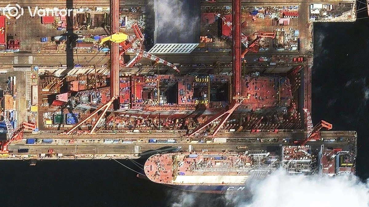













For years, commercial satellite imagery created the impression that modern war had lost its ability to disappear. If reporters could not reach the battlefield, orbit still could. If governments lied about a strike, the crater, the smoke plume, the damaged runway or the altered outline of a building could still tell the story. That is what makes Planet Labs’ decision to sharply restrict imagery over Iran and the broader Middle East conflict zone so consequential. This is not just a corporate policy change. It is a sign that one of the most important tools of public verification has itself entered the logic of war.
Formally, the company says it acted after a request from the U.S. government and for reasons of safety and operational security. The new system moves imagery from broad access to a controlled regime in which images are released selectively and only in limited cases judged urgent or in the public interest. The policy also reaches backward, covering material collected since early March, and applies not only to Iran but to Gulf states and active conflict zones across the region.
That matters because this is no longer merely a delay. A delay still assumes eventual visibility. What Planet is introducing is something more profound: selective visibility. The right to see no longer belongs automatically to journalists, researchers, open-source investigators and the public. It becomes something granted, filtered and managed.
In Deycom’s preliminary assessment, that is the real turning point. This war is entering a stage in which controlling territory is no longer enough; states also want to control the image of territory. Whoever decides which orbital pictures appear today, which appear two weeks later, and which do not appear at all gains more than a tactical advantage. They gain influence over the pace at which the public is allowed to understand the war itself.
For journalism and open-source analysis, that is a serious blow. Satellite imagery has become one of the few reliable ways to independently confirm strikes, monitor troop movement, assess damage to civilian neighborhoods, track activity around military and nuclear sites, and test official claims against physical evidence. In places where reporters cannot safely travel, imagery from orbit has often been the last independent witness. Once that witness is partially silenced, war begins to drift back toward the older world of state briefings, military statements and curated fragments of propaganda video.
That is why the decision cannot be reduced to the dry language of operational security. Of course governments have long worried that near-real-time commercial imagery might also help an adversary evaluate attacks, identify vulnerabilities or adjust its own operations. That tension between transparency and security has existed for decades. But what is happening now goes further than an old argument over intelligence risk. It suggests that visibility itself is being reclassified as a strategic asset to be rationed in wartime.
The most revealing part is that the blackout is not total. Powerful states, intelligence services and privileged actors do not suddenly become blind. The people who lose sight first are the ones outside formal state power: reporters, researchers, watchdog groups and the wider public. That is the new asymmetry. War does not vanish completely. It vanishes selectively, and above all from those who are trying to view it independently.
There is a deep irony in that. The age of commercial satellite imagery was supposed to democratize vision. For decades, only superpowers could look down from above. Then private firms, newsrooms, universities and investigators gained access to the same terrain from orbit. That changed the culture of war reporting. It made denial harder. It made concealment more fragile. It made physical evidence available to those who had no army and no state behind them. Planet’s move reveals the limit of that democratization. In a serious conflict, the market can still be bent back toward state logic, and openness can be narrowed in the name of necessity.
For the Middle East, the implications are especially stark. This is a war in which airfields, oil infrastructure, transport corridors, industrial sites and areas around sensitive nuclear facilities are all under pressure. In such a conflict, satellite imagery is not just an illustration. It is scale. It tells the world whether a strike was local or wide, symbolic or devastating, precise or reckless. Once access to that scale becomes conditional, the public loses one of the few ways to resist becoming fully dependent on official narratives.
And that is the broader transformation now underway. In earlier wars, states hid the battlefield through censorship, access restrictions and the expulsion of reporters. In this war, they can ask orbit itself to look more slowly. That is a different kind of concealment—more modern, more technical and, in some ways, more effective. It does not forbid people from knowing. It simply makes knowing slower, patchier and more dependent on permission.
Planet Labs’ decision should therefore be read as more than a narrow story about geospatial policy or a single company’s compliance. It is a story about how the public nature of war is changing. The battlefield is no longer only a place of explosions, troop movements and ruined infrastructure. It is also a struggle over who owns the image of those things, who controls their release and who is forced to wait in the dark.
If that model hardens, the next major war may unfold under two kinds of cover at once: the smoke of destruction on the ground, and a managed shortage of images above it.